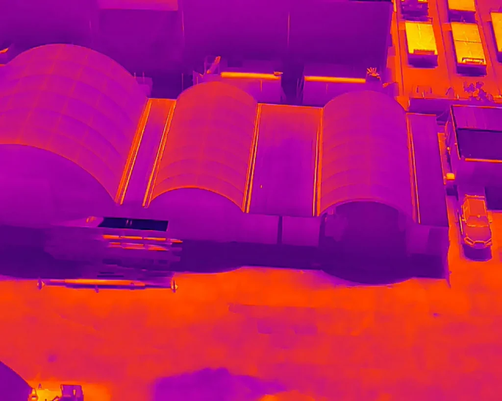
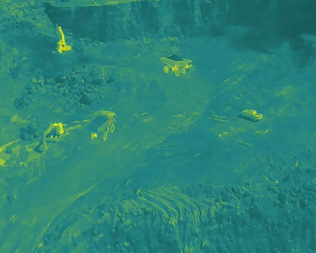
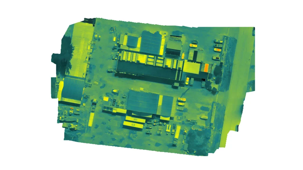
We perform thermographic inspections of your assets and provide you crucial data on their health and maintenance requirements. By using a drone to capture the thermal data over large areas, the customer can efficiently and accurately make decisions on how issues are identified and repaired.
For the pics below we used a DJI M350 with H20T thermal camera, and we were able to pick up detailed thermal information of the site. From this data the customer was able to detect:
- Excessive heat/heat overflow
- Excessive cool
- Structural degradation
- Effectiveness of solar panels (photovoltaic survey)
- Insulation degradation
The best thing about using drones to collect data is that it reduces the risk of an operation. Why send a person on foot or up a ladder to collect important information when you could do it more accurately, efficiently and safer with a drone?