Who We Are
Our Story
At PSAH Drone Services, we are proud to be a part of the wider PSAH group, which has been dedicated to serving the mining, civil construction, and resource industries for over a decade. Our journey in the world of aerial data collection began with a vision to transform the way projects are planned, managed, and executed. With a focus on super high-quality, georeferenced imagery, we have become leaders in the field of Remotely Piloted Aircraft (RPA) technology, commonly known as drones.
Our Mission
Our mission is clear: to provide our clients with the tools they need to succeed in a rapidly changing world. We understand that efficiency, precision, and environmental responsibility are crucial to the success of any project. That’s why we offer a range of services aimed at helping you achieve these goals.
What We Do
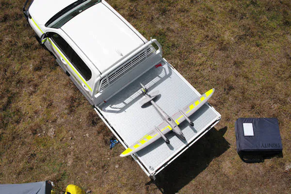
At PSAH Drone Services, we specialise in utilising Remotely Piloted Aircraft (RPA) or drones to enhance your project’s success. Here’s what sets us apart:
Efficiency: We help create efficiencies in your data collection and project management over any terrain. Our cutting-edge technology allows us to cover vast areas quickly, reducing project timelines and resource requirements.
Precision: We provide super high-quality, georeferenced imagery that forms the foundation of your projects. Our digital outputs, including orthomosaics, 2D and 3D models, and elevation data, are designed to meet your specific requirements.
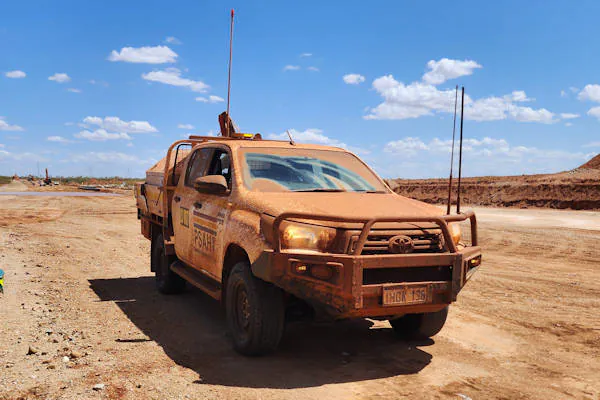
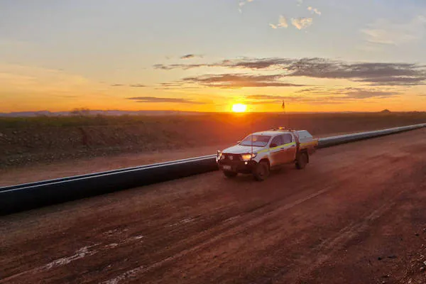
Risk Reduction: Safety is our top priority. We utilise unmanned aircraft to gather data at heights and in difficult or dangerous terrain, minimising risk to personnel and assets.
Environmental Responsibility: We are committed to helping you reduce your carbon footprint. By using alternative technologies with lower impact, we support your environmental initiatives.
PSAH Drone Services meet or exceed:
Civil Aviation Safety Authority (CASA) regulations & standards for Remotely Piloted Aviation (RPA)
AS/NZS ISO 31000:2009 – Safety & Risk management standards
Industry accepted standards & policies for aerial imaging & surveying
Meet Our Team
Steve Brackin is the Manager and Chief Remote Pilot of PSAH Drone Services.
After serving our nation for 31 years (10 years in the Army UAV Regiment), Steve has developed courses, instructed and assessed multirotor and powered lift RPAS for 6 years and has been in management roles for 18 months prior to joining our team.
Steve comes with extensive experience where he has been:
- an instructor (over 1200 hours),
- Mission Planner and Approver (military and civil),
- Air Accident Investigator (military),
- Operated BVLOS (over 500 hours military),
- Multirotor, Aeroplane and Powered Lift up to 25kg,
- Aviation English Language Proficiency – Approved Assessor – Level 6.
We are able to provide training in Multirotor (up to 25kg), Powered Lift (up to 7kg), Aeronautical Radio Operators Certificate, utilising EO and thermal camera options, mapping and survey with RTK systems, bathymetric sampling and LiDAR.