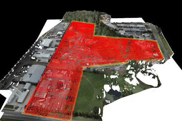
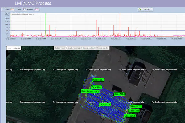
Our remotely piloted aircraft use cutting-edge technology to revolutionise gas leak detection. The methane survey data is all georeferenced, so leaks can be identified accurately, and the outputs plugged into any GIS software.
- Methane Detection: detect methane leaks accurately. We fly over your site, capturing georeferenced data that pinpoints leaks swiftly and efficiently.
- GIS-Ready Outputs: All our data is delivered in comprehensive GIS formats, seamlessly integrating with your existing systems.
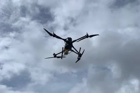
- Safety First: Dangerous gas leaks? Let our drones handle it! We perform inspections at heights or in treacherous terrain, minimizing risk on your worksite.
We can help manage any type of land project and empower your decision making with accurate, timely and relevant data!
Get in touch with the PSAH Drone Services team to see how we can help your project!